Memorable Places
Discover the soul of China’s great outdoors. Our curated collection of over 200 trails offers everything from day hikes to multi-week expeditions for every level of explorer.
Amazing Teams
Our team combines decades of outdoor exploration with advanced data analysis. We provide precise elevation profiles, difficulty assessments, and optimized logistics for over 223 trekking routes across China.
Reliable Trail Data
Every route in our 223-map database is analyzed using high-precision elevation profiling and GPS tracking. We minimize the error margin in rugged terrain to ensure your safety and planning accuracy.
Trekking Resources
Master the trails with our comprehensive guidebooks. From understanding elevation charts to navigating remote GPS waypoints, we provide the technical knowledge you need for a safe and successful expedition in China’s backcountry.
Our Team
Who We Are
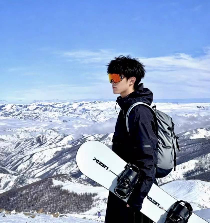
Jaytayn Young
A software engineer with a passion for high-altitude exploration. I specialize in automating geographic data analysis and has successfully mapped over 223 professional trekking routes across China. My mission is to combine technical precision with outdoor adventure to provide explorers with the most reliable trail intelligence available.

Hiring Now
We are looking for an experienced outdoor professional to manage our logistical networks and ground support across 200+ routes in China. Join our growing mission.
Open Position
Passionate about geospatial data? We need experts to help refine our elevation profiles and interactive GPS mapping systems. Be part of the most precise trail database.
Future Partner
Passionate about Chinese trekking? We welcome professional guides and outdoor clubs to collaborate on our route commercialization and lead generation platform.
Our Partners
Malesuada fames ac turpis egestas sed tempus urna et pharetra. Urna duis convallis convallis tellus id interdum velit laoreet id.


Sollicitudin Aliquam Ultrices Bagittis Orci Acelerisque
Enim nulla aliquet porttitor lacus. Non consectetur a erat nam at lectus urna duis convallis. Risus ultricies tristique nulla aliquet enim tortor maecenas accumsan lacus vel facilisis volutpat.